Wind Energy
Wind Energy and Scenic Considerations
Issues of energy production and consumption not only affect our population, but also the landscapes in which we live, work, and play. With the quest for a more sustainable energy ethic rising to the forefront of discussion, sources of alternative energy production, such as wind power, are becoming more of a reality.
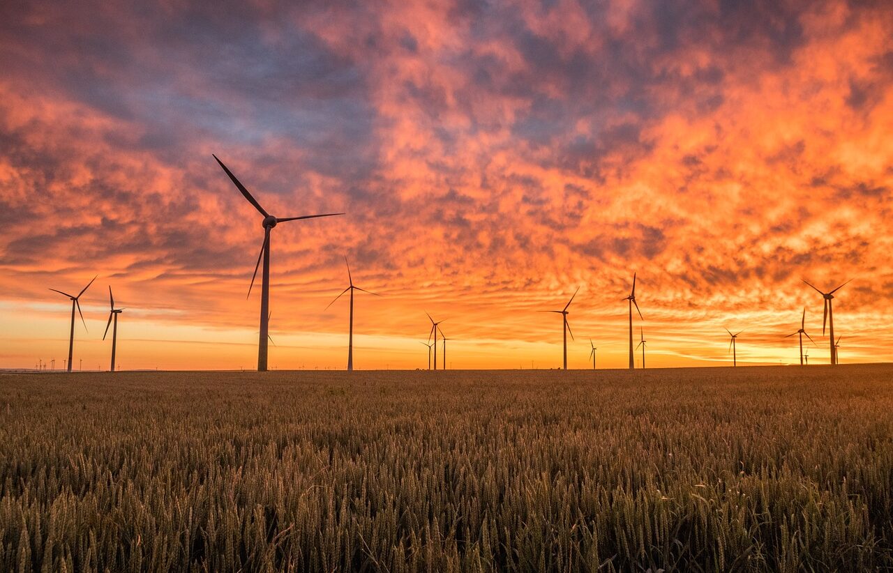
While the environmental benefits of renewable energy such as wind are clearly apparent, the projects themselves create significant visual intrusions into the landscapes in which they reside. Along with the potential for bird mortality, visual impacts remain the primary opposition voiced by communities in areas where projects are proposed. The size, number, scale, motion, and visual prominence of wind turbines makes visual mitigation nearly impossible and communities are faced with challenges in embracing green technology while protecting landscape views they value.
Wind turbines located on land generally range from 250 to 450 feet, with blades spanning 165 to 295 feet. Off-shore turbines can rise to 540 feet with blade spans of 360 feet.
The places that often have the highest wind values are also the places with the highest scenic, cultural, and historic values. Turbines are often placed on ridgelines in order to capture the strongest winds.
Scenic America is committed to working collaboratively with communities and professional groups to develop cutting-edge landscape mitigation strategies to help communities address the potential for negative visual impacts. Ours is not a position of advocating either for or against this renewable resource, but rather, helping communities address the protection and preservation of landscape characteristics they value.
Visual issues are about more than just the turbine. Other infrastructure is also required: maintenance buildings, power lines, and transformer substations. Excessive vegetation clearance is often required, as is the construction of access roads.
Communities should be aware that there are methods to assess and evaluate the scenic conditions and potential impacts of projects and that sophisticated, proven technologies exist for viewshed analysis and visualizations of what projects would look like before they are built. These tools can have incredible effectiveness in the planning, design, and mitigation of impacts.
Recommendations for Balancing Wind Energy Benefits while Mitigating Scenic Concerns
- Turbines should be white or neutral color, and columnar, not lattice, structures. All of the turbines should be the same and should move in the same direction.
- Smaller groupings are better than one continuous large one. Fewer larger turbines are better than more smaller ones, but don’t make them bigger than they need to be. The lights should be shielded from below.
- Avoid visible roads and clearings around the turbines. Screen substations and support structures.
- Respect the land. Avoid erosion from road building. Avoid power lines running straight down the hill. Stay close to power grid to minimize new transmission lines
Questions to consider when exploring wind energy infrastructure construction:
Does the project alter the meaning of the landscape? Is it distracting from what should be seen or felt?
Are there local or regional plans, corridor management plans, historic district plans, or other formal visioning or planning statements that have identified important visual qualities or sensitive or invaluable scenic, cultural, or historic resources with which the project is out of compliance?
Is the project visible from places where people don’t expect to find visual intrusions, such as along hiking trails, at battlefield sites, in cemeteries or other culturally sensitive places, or wilderness areas? Does the project significantly diminish visual qualities, and are there mitigation strategies that could be considered?
Visual impact assessments should be required for every project. Such assessments should include:
- Inventory of visual resources and viewshed mapping to identify key scenic, cultural, and historic landscapes, with full photo documentation
- Photo simulations and computer modeling (with motion, if possible). Simulations may include balloon tests and should include day and night images from various distances and vantage points.
- Matching the findings of the inventory with assessments of what visual values are most important and to what degree they are affected (from various sites in the area).
- Rating the scenic, cultural, and historic attributes of the landscape so that they can be compared with the benefits of the project
Communities should:
- Fully understand the scope of the project, including the supporting infrastructure
- Ensure that the project complies with the National Environmental Policy Act, FAA requirements, and the National Historic Preservation Act.
- Know how much land will be cleared and what will need to be restored
- Know how close the project is to residential areas and non-participating land owners
- Know how close the project is to existing transmission lines
- Know how close to and visible from historic and cultural sites, scenic areas, byways, parks, trails, etc.
- Require surety bonds or binding letters of credit to ensure the money will be available to remove the turbines and everything else when the times comes
- Require strict maintenance schedules
- Require undergrounded utilities
- Require all ancillary structures be shielded from view and not allowed on the top of ridges