Puerto Rico
Puerto Rico, Rick Lipsett for Pixabay
Puerto Rico’s Scenic Byways
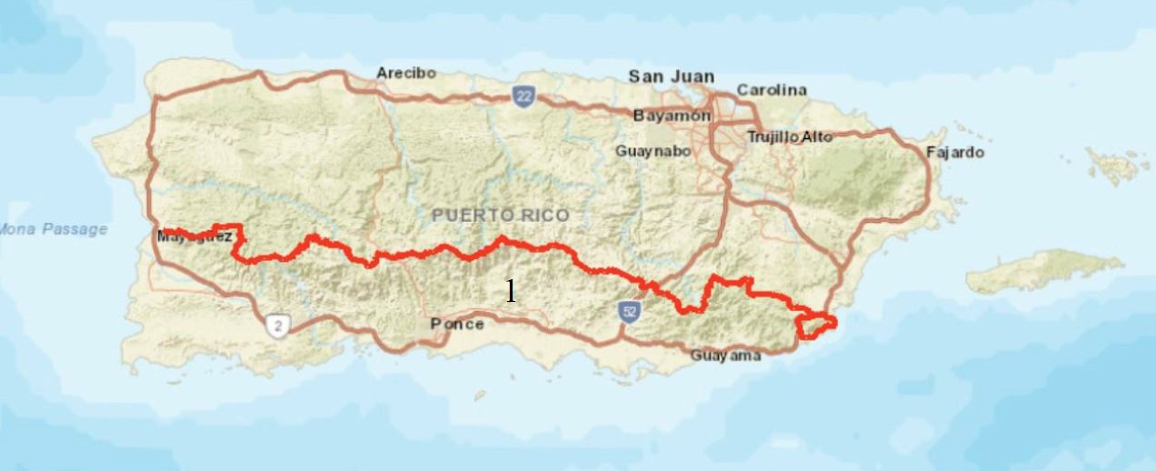
Puerto Rico designated the Luis Muñoz Marín Panoramic Route as its first state scenic byway route in 1965. With a length of 266 kilometers, the Panoramic Route passes by four state forests and numerous ponds, lakes, and waterfalls. The route also highlights Puerto Rico’s history, with artifacts from Spanish colonial-era historic sites and coffee and sugar haciendas. After the creation of the National Scenic Byways Program, the Puerto Rico Department of Transportation and Public Works and the Highway and Transportation Authority completed a corridor management plan for the route in 1998 to identify and conserve its key scenic features. Puerto Rico has also identified other routes for potential designation as scenic byways.
Key Points
- Puerto Rico is home to one scenic byway.
- Cerro de Punta, near the byway, is the highest point on the island at 4,389 feet.
- Travel and Tourism, which the byway program supports, contributed $7.2 billion to Puerto Rico’s economy in 2019, accounting for nearly 7% of its total GDP.
Puerto Rico Byway
Map Key:
- State Scenic Byways
State Scenic Byways
Byways Provide Access to Public Lands
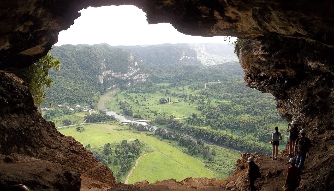
Puerto Rico’s byway provides access to the state’s most spectacular public lands, including one national park, four state forests, six national historic landmarks, one World Heritage Site, 36 nature reserves, and 300 beaches.
About the National Scenic Byways Program
The National Scenic Byways Program, established by Congress in 1991, recognizes historic, scenic, and culturally important roads, all of which promote economic development and tourism in communities around the U.S. There are more than 1,200 byways in all 50 states.
All scenic byways exhibit one or more of six core intrinsic qualities — scenic, historic, recreational, cultural, archaeological, or natural. For a road to be named a national scenic byway, it must first be designated a state, tribal, or federal agency scenic byway. Once achieving that, a road may apply for national scenic byway designation, but its intrinsic quality must be of regional significance. All-American Roads are the very best of the national scenic byways, demonstrating at least two intrinsic qualities of national significance.